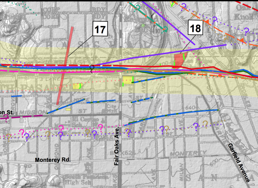
The LA Times reported today that the California Geological Survey has issued a revised map of the Raymond fault which indicates the fault is longer than was previously believed. Experts now say that an earthquake along the Raymond fault, which runs directly under South Pasadena, could be as large as a magnitude 7. Uh oh.

Today’s article by Rong-Gong Lin mentions a specific risk factor in our city. “South Pasadena only recently decided to take a new look at brick buildings and found out that nearly half of the 60 brick structures — including stores, restaurants, apartments and churches — in that city were not retrofitted” to protect against earthquake damage.
If you want to learn more about the new map, check out the full press release on the California Geological Survey’s website. The Survey also provides a detailed map of faults throughout the entire state. And if you’ve been meaning to get more prepared for a possible quake, “Putting Down Roots in Earthquake Country” by the USGS is a great place to start.
Thanks to Oliver K6OLI and Tim WA0PTC for the info.

